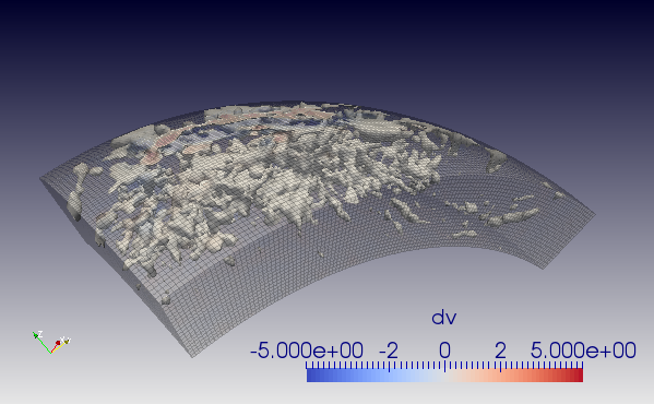
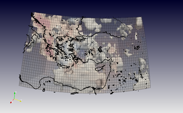
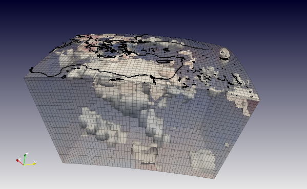
Earth3D is a simply program which allows for the 3D visualisation of gravity, tomographic, topological and coastal
datas from different sources. The user simply needs to specify which dataset he wants to use and
look at and the min/max latitudes and longitudes (and possible depths if applicable).
From the datasets are then extracted the useful data, which are then output in vtk format.
The program is linked with the following datasets:
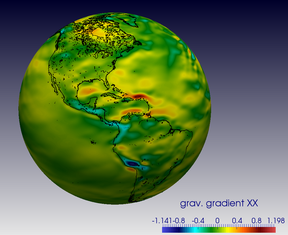
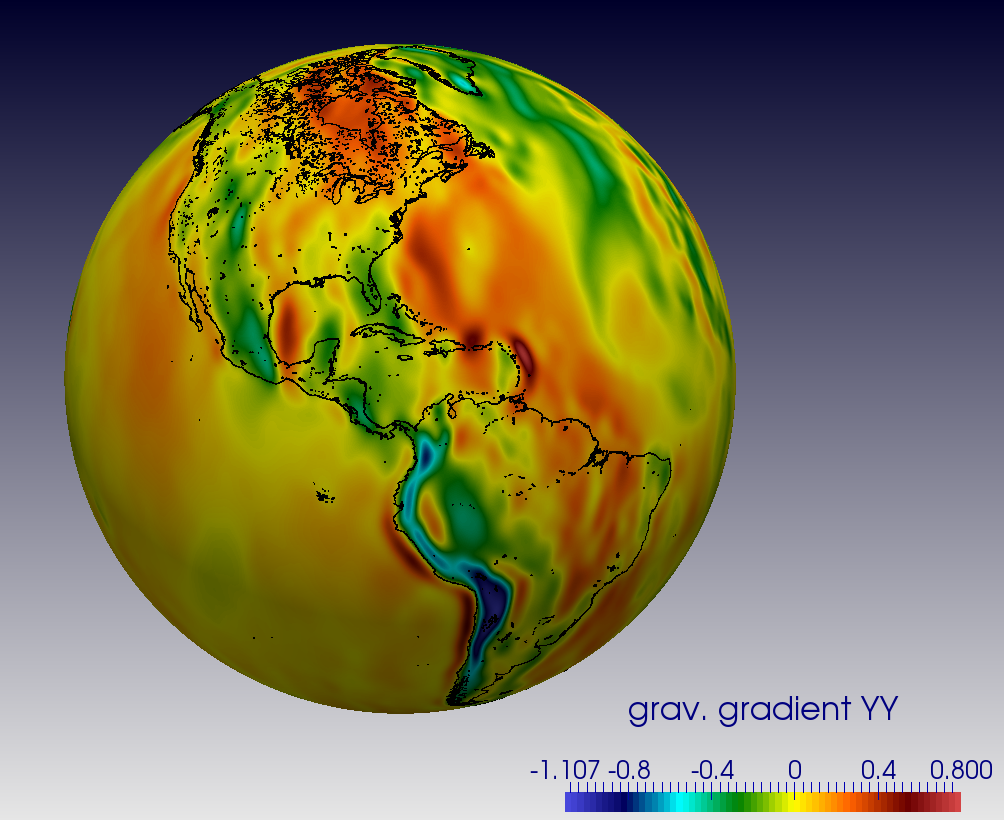
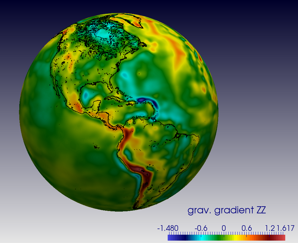
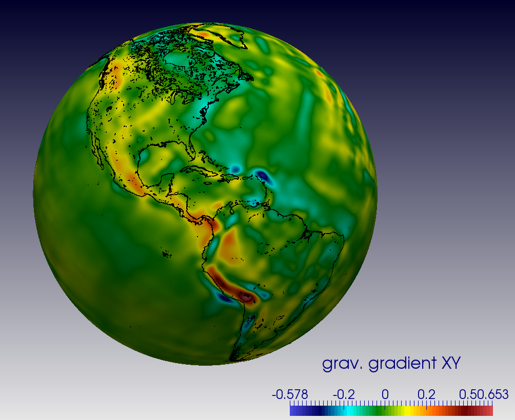
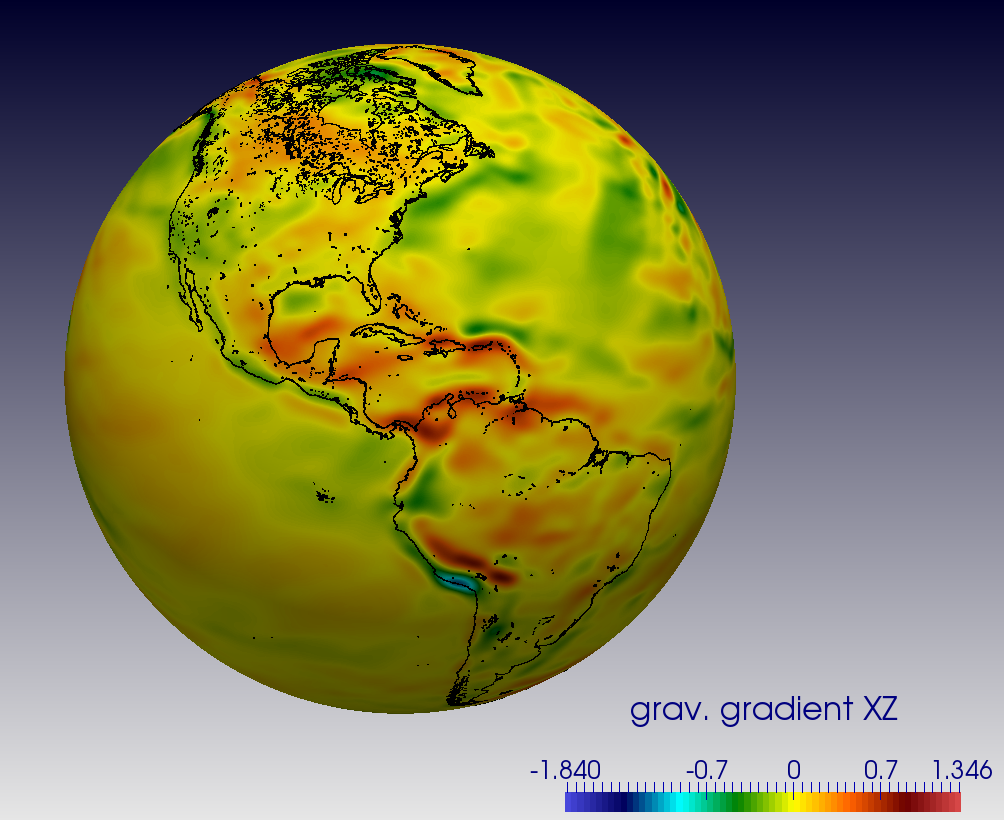
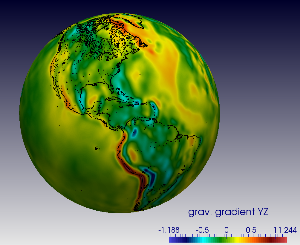
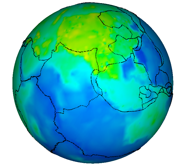
GOCE satellite data
- gravity gradients obtained from ftp://dgfi.tum.de/pub/goce2/Gradient_Grids/
- values measured at 255km height
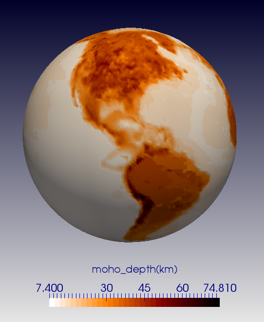
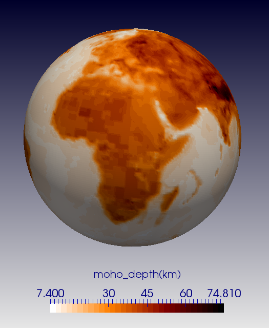
Moho depth
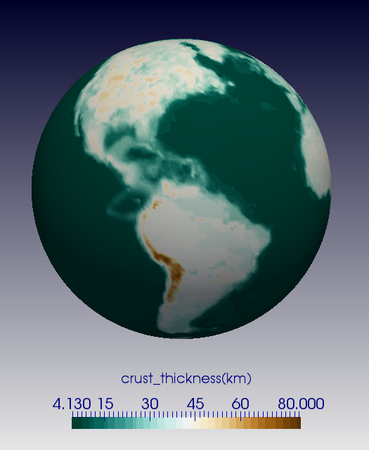
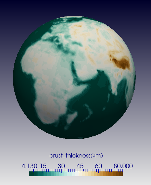
Crustal thickness
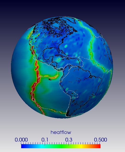
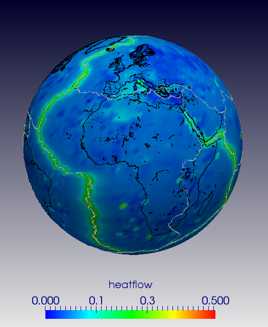
Heat Flow
Data from "Global map of solid Earth surface heat flow", J.H. Davies, Gcubed 14(10), 2013 (supplementary material).
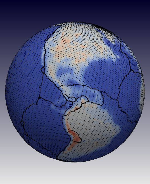
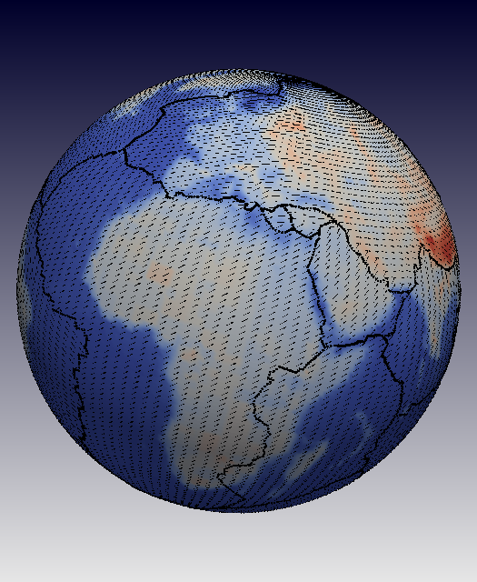
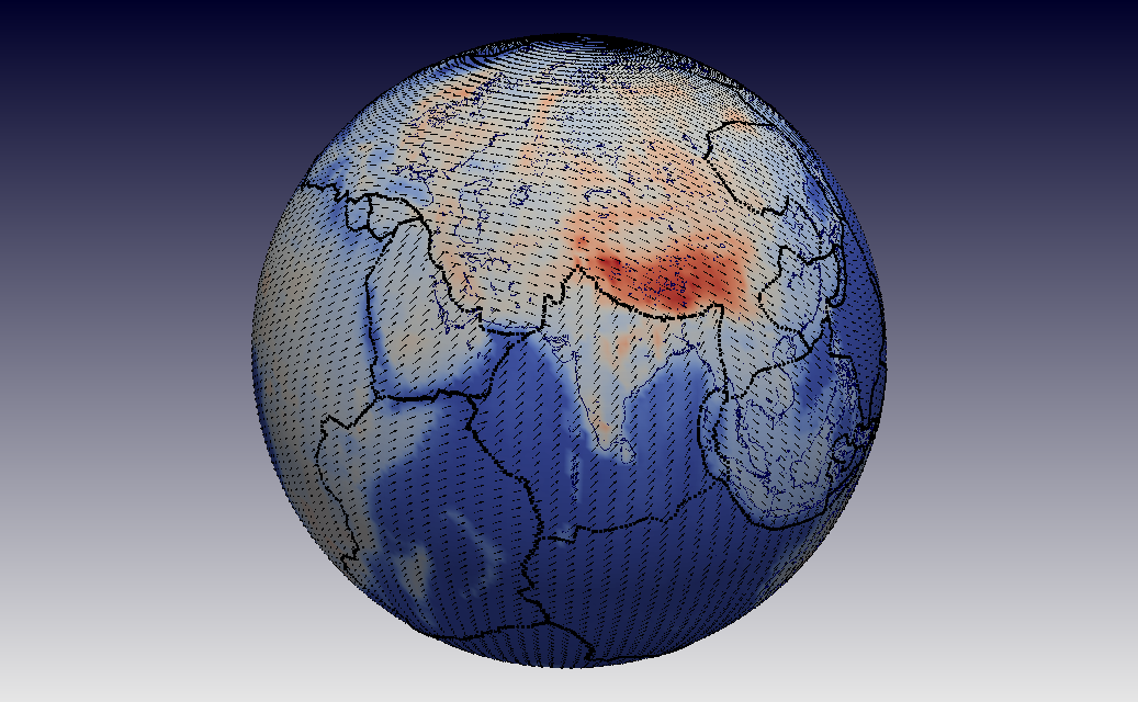
Gplates Velocities
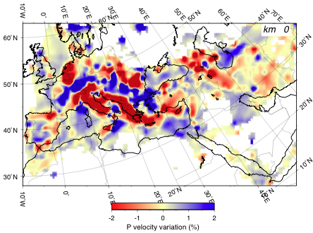
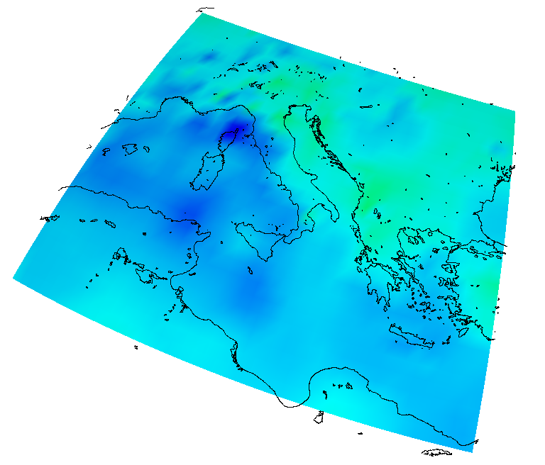
p-wave seismic tomography of the Euro-mediterranean region
- P wave tomography of the mantle under the Alpine-Mediterranean area, Claudia Piromallo and Andrea Morelli, JOURNAL OF GEOPHYSICAL RESEARCH, VOL. 108, NO. B2, 2065, doi:10.1029/2002JB001757, 2003
- rotated coordinate system.
- 0km ≤ depth ≤ 1000km, sampled on 41 points
Spakman Tomography model
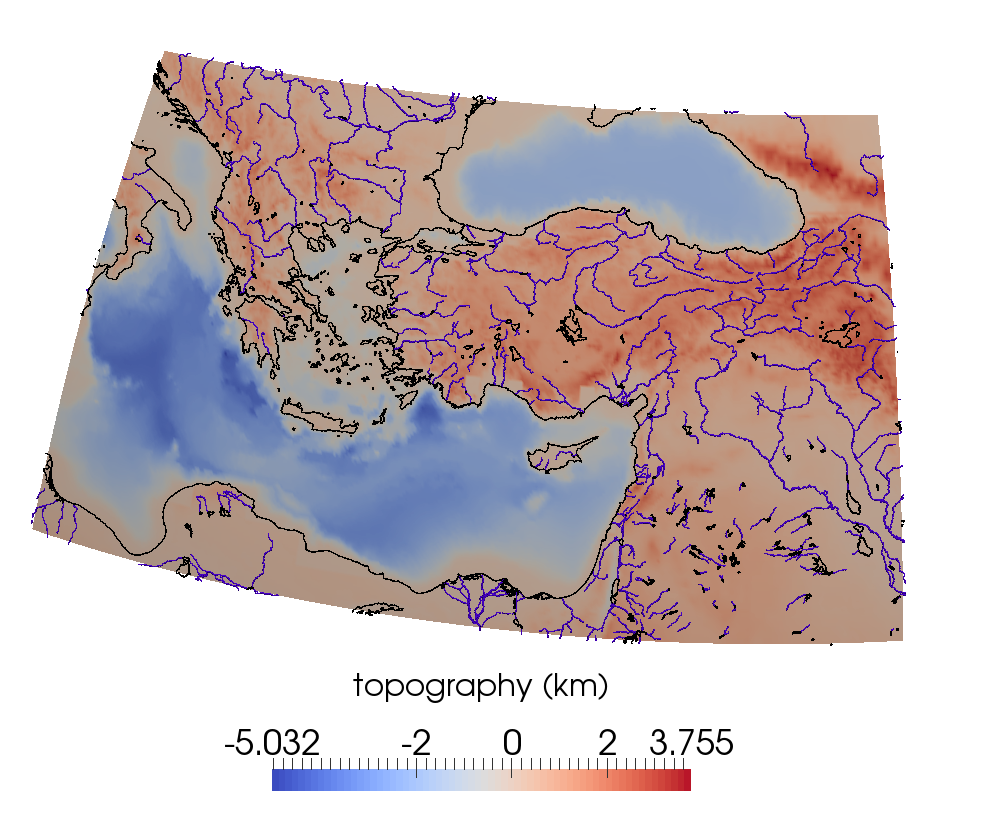
Topography
- -90o ≤ latitude ≤ +90o, sampled every 1/12th degree (2160 points).
- 0o ≤ longitude ≤ 360o, sampled every 1/12th degree (4321 points).
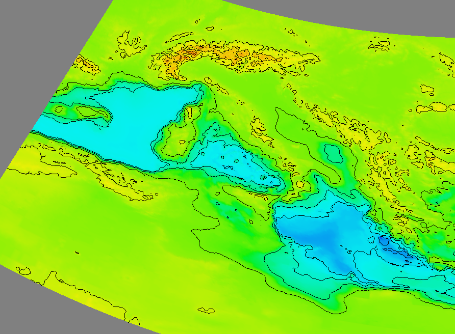
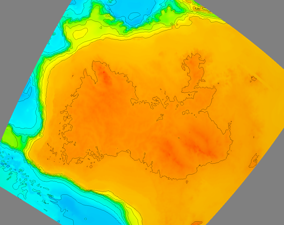
Plate boundaries and coastlines
topography, coastlines and rivers
- zoom on the Aegean region